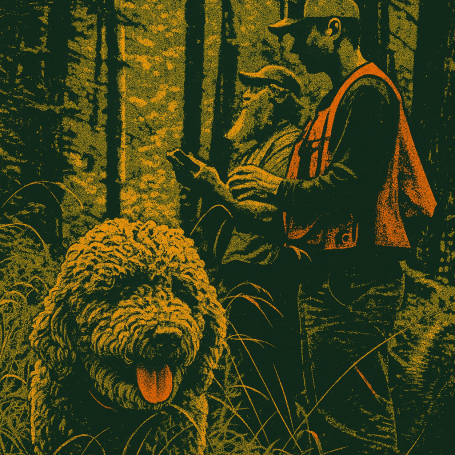
Our Services

Innovative Forest Management
Helping you reach your desired goals through an array of unique forestry practices

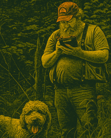
Prescription Implementation
"Boots on the ground" establishing stream buffers, harvest boundaries, timber cruising and inventories

Revenue through Regenerative Forestry
Helping landowners attain their finical goals while maintaining and improving the capacity of the land to supporting a diverse ecosystem

Legacy Tree Retention
Identifying key features of the forest ecosystem to preserve mature trees across the tree farm landscape, or selecting the next cohort for the future

Sustainable Forestry Initiative
Surpassing SFI standards in every forest endeavor
GIS & Spatial Data Support
Tarn Forestry provides practical GIS and spatial data support to help landowners, managers, and project partners make informed decisions in the field and at the planning table. This GIS work is grounded in real-world forestry applications, with an emphasis on usable mapping, clean data, and decision support that aligns with operational goals and regulatory requirements.
Tarn Forestry uses GIS to support forest management planning, timber inventory, permitting, stream and road assessments, and project layout across western Oregon and the broader Pacific Northwest. The approach is focused on producing clear, functional spatial products that improve efficiency, reduce uncertainty, and support sound management on the ground.
GIS Support Rooted in Field Forestry
Strong spatial data is one of the most useful tools in modern forest management. Tarn Forestry uses GIS to support mapping, analysis, field data collection, regulatory planning, timber inventory, and project coordination. With experience applying GIS directly to working forestry projects, Tarn Forestry provides mapping and spatial support that is practical, accurate, and built for real decisions on the ground.